This website uses cookies, which are small text files that the website puts on your device to facilitate operation. Cookies help us provide a better service to you. They are used to track general user traffic information and to help the website function properly.
MountainViews is standardising on this new presentation style for the "Main Page". For a short while it is still possible to
Get the equivalent "old" page here. Or choose from the "Home" menu option above to change.
Feature count in area: 7, all in Cork,
OSI/LPS Maps: 80, 86, 87, 89
Highest Place: Knockshanawee 209m
Starting Places (5) in area South Cork: Ballincollop, Cooligboy Hill West, Doolieve East, Inniscarra, Timoleague Friary
Summits & other features in area South Cork: E: Doolieve: Doolieve 182.5m N: Garravagh: Garravagh North Top 164m N: Knocknaheeny: Knocknaheeny 161m N: Knockshanawee: Knockshanawee 209m S: Timoleague Hills: Ballincollop Hill 141m, Cooligboy Hill 144m, Slieveadrohid 201m
Note: this list of places may include island features such as summits, but not
islands as such.
Cooligboy Hill, 144mHill
Place Rating ..
, Cork County in Munster province, in no lists, Cooligboy Hill is the 1484th highest place in Ireland. Cooligboy Hill is the second most southerly summit and also the second most westerly in the South Cork area.
Grid Reference W44862 44228,
Mapsheet(s): 86, 89 Place visited by: 27members, recently by: Anahitayto, Petecal423, Glanman2, daitho9, DeirdreM, Oscar-mckinney, Jai-mckinney, Carolyn105, Kirsty, dregish, Taisce, chelman7, Wildrover, Fergalh, Juanita
I visited this place: NO (You need to be a logged-in member for this.)
Short or GPS IDs, 6 char: ClgbHl, 10 char: ClgbyHil Linkback: https://new.mountainviews.ie/summit/1355/
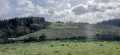
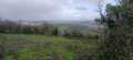
Gallery for Cooligboy Hill and surrounds
Summary
for Cooligboy Hill :
Aerial views
Summary created by thomas_g
17 Jan, 2014
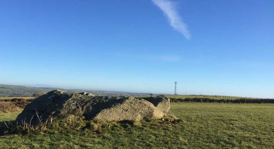
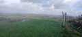
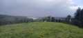
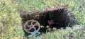
Picture: The highest point?
Parked at Cl'boy W (W44662 44312) (room for 1 car). Climbed the gate, crossed the field, climbed the ditch and arrived at the summit area. Views are restricted due to the flatness of the hill and there is a comms mast nearby. There are several large rocks near the summit and they according to my gps are the highest point. This is farmland, but accessing from this side avoids any houses.
Use of MountainViews is governed by conditions and a privacy policy.
Read general information about the site. Opinions in material here are not necessarily endorsed by MountainViews.
Hillwalking is a risk sport. Information in comments, walks, shared GPS tracks or about starting places may
not be accurate for example as regards safety or access permission. You are responsible for your safety and your permission to walk.
See the credits and list definitions.


 Add a Place Comment for Cooligboy Hill
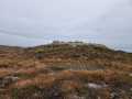

 Our Facebook page.